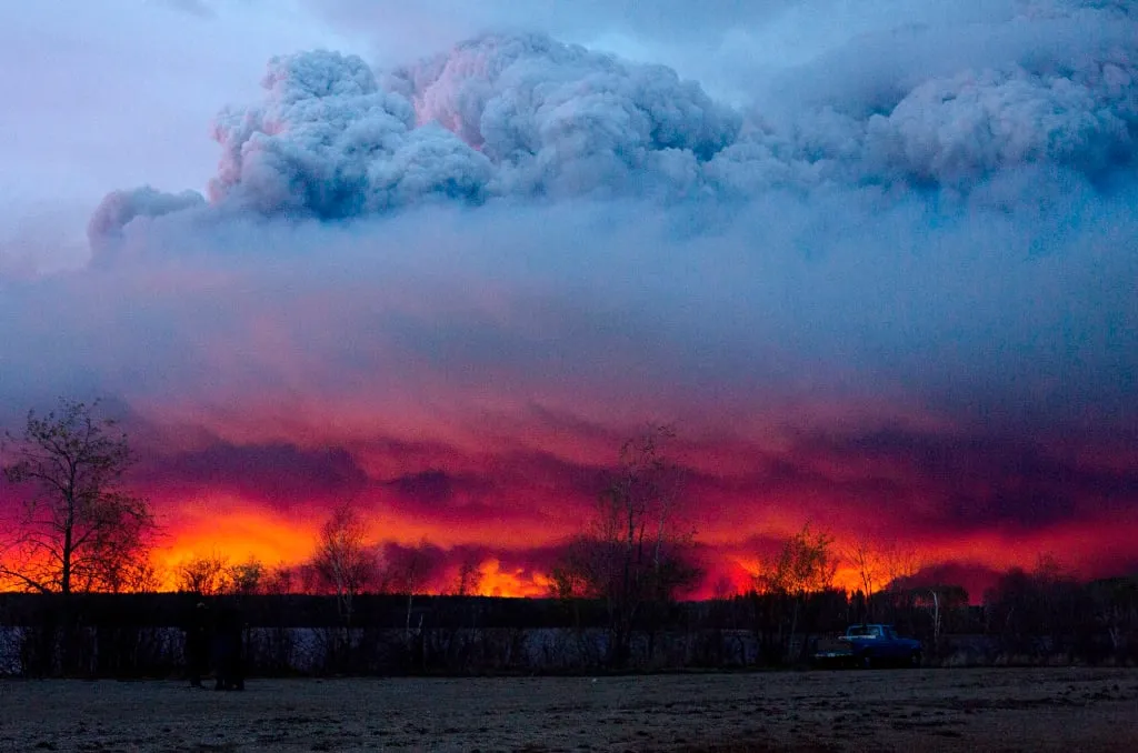
May 4, 2016: A wildfire struck the Fort McMurray area, becoming the most expensive disaster in Canadian history. (Jason Franson/CP) Jason Franson/CP
How big was the Fort McMurray fire?
A year after wildfires engulfed Fort McMurray, here’s a reminder of just how massive the fire area was
The wildfire that would eventually force the mass evacuation of Fort McMurray began May 1. A week later, the fire had grown significantly in size, to at least 85,000 hectares.
As the fire grew, Maclean’s mapped the fire, superimposing its footprint over major cities in North America and Europe to give some context to its size. As people in Fort McMurray and across the country mark the anniversary of the fire, here’s a look back at how large the wildfires grew. The maps reflect the size of the fire area at 11am ET on May 7, 2016.
WATCH MORE: Fort McMurray evacuees on how their lives have changed one year later
Related Posts
Canada
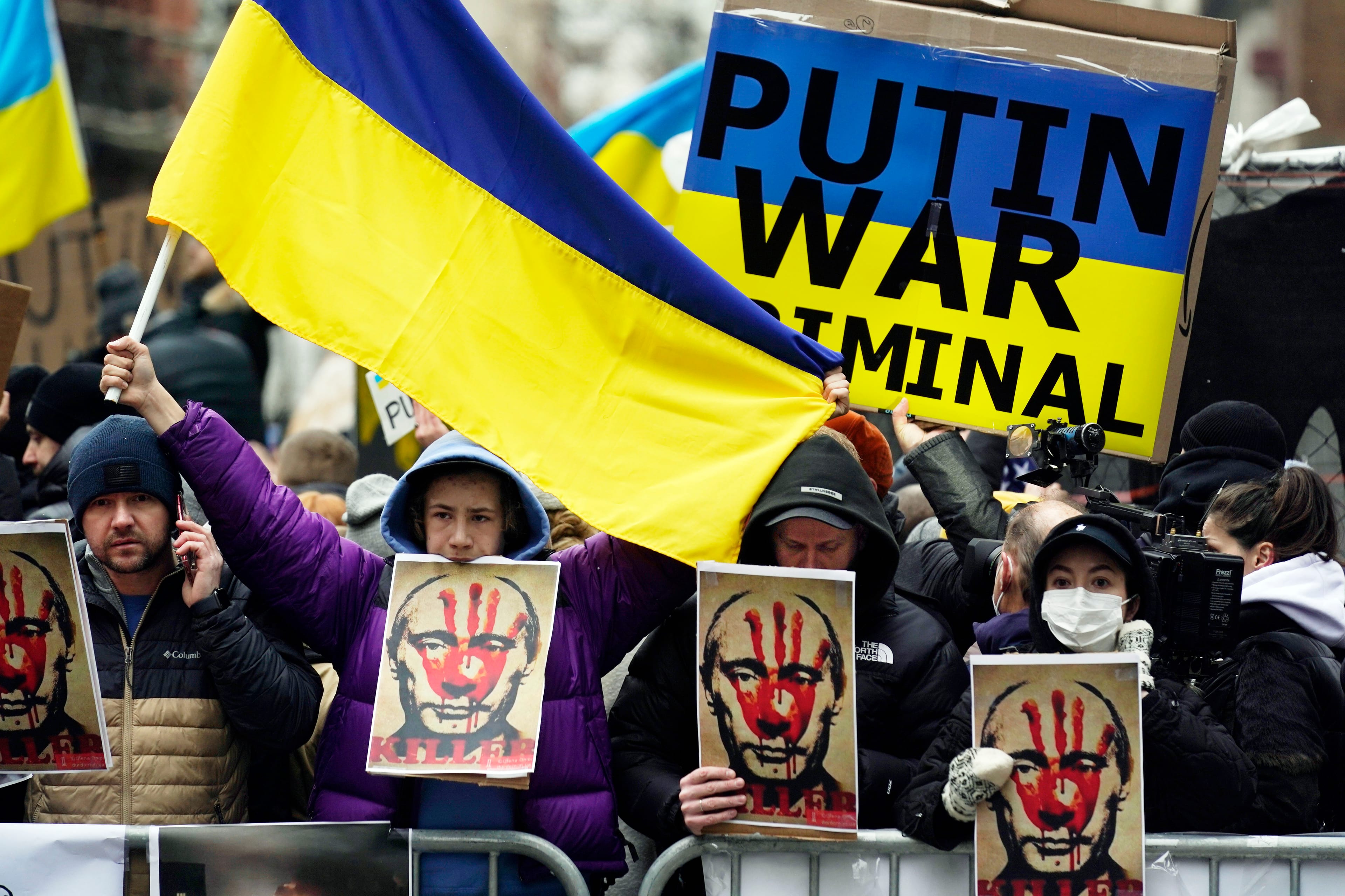
The only acceptable response to Vladimir Putin
Scott Gilmore: There are a long list of actions Canada can take right now to pressure Putin and help Ukraine. And there are no excuses if it doesn’t act.

World
Why sanctions over the Ukraine invasion won’t stop Putin
Terry Glavin: Xi Jinping has the Russian leader’s back as the two advance the authoritarian political model around the world

Canada
The Age of Wildfires
Wildfires are hotter, bigger and deadlier than ever. And they’re getting worse.

Canada
My love for the giant that is Ukraine
Andrew Kushnir: As I think about my friends in danger and the stories of my grandfather, I am reminded that I am inextricably linked to this other country
Get the Best of Maclean’s straight to your inbox.
Sign up for news, commentary and analysis. Join 60,000+ Canadian readers.