
This is what afternoon darkness looks like in the smoke-filled heart of B.C.
"The heart of it all” is in Vanderhoof, B.C. It’s a town slogan meant to reference its location: Vanderhoof is the geographical centre of British Columbia. But as wildfires burn throughout the province, and smoke makes its way across the skies, the town looks more like a heart of darkness.
As smoke from the nearby Shovel Lake wildfires moves east, it’s bringing a nighttime effect to the community of 4,500, where residents reported witnessing black ash falling.
The B.C. government has issued a provincial state of emergency, as there are currently more than 550 wildfires across the province and thousands of residents are being asked to evacuate their homes. In Fraser Lake, B.C.,—about 50 kilometres west of Vanderhoof—residents have been informed they should be prepared to leave at a moment’s notice.
MORE ABOUT B.C. WILDFIRES:
Aaron Hutchins is an award-attending journalist who writes about business, politics and public policy.
Related Posts
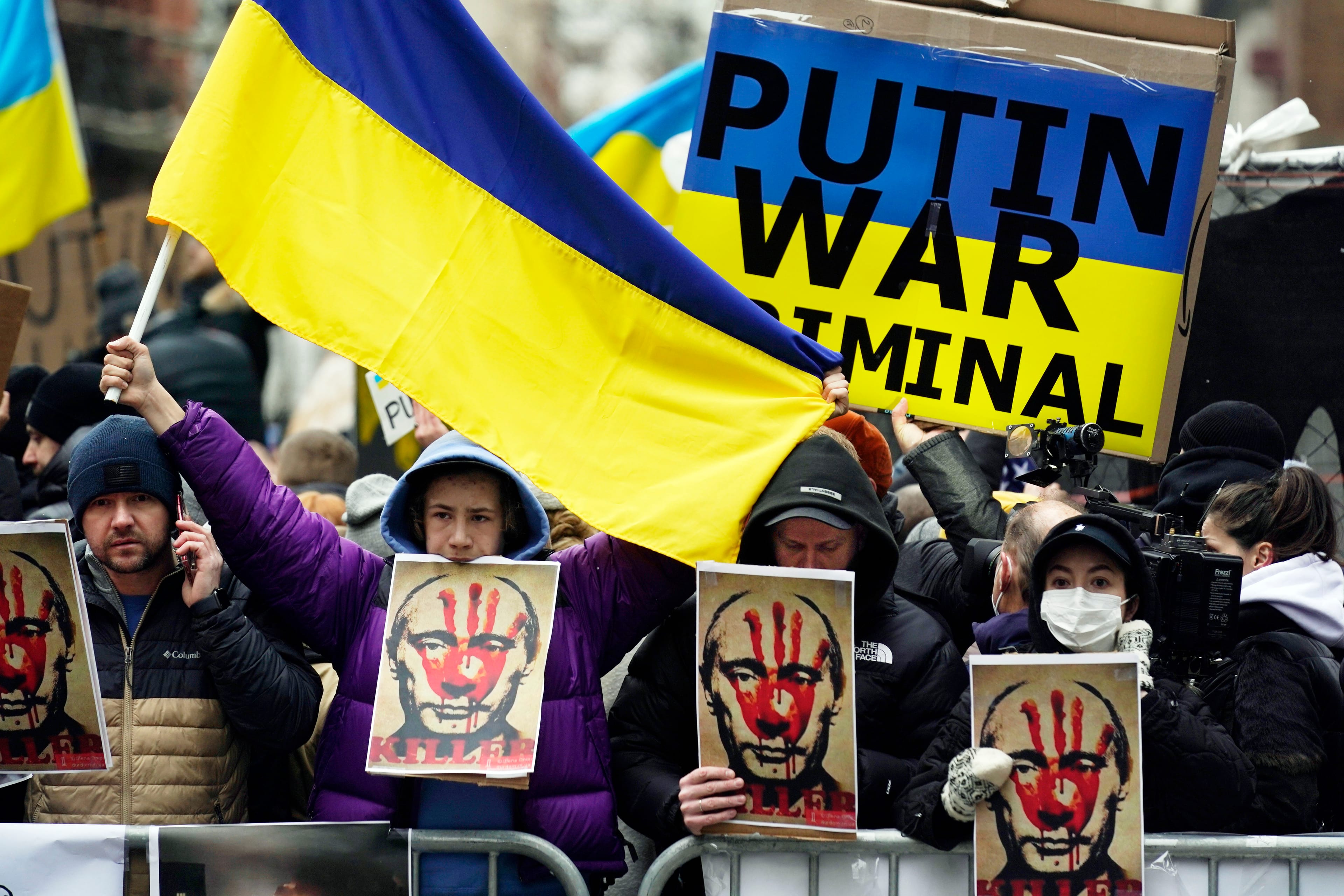
The only acceptable response to Vladimir Putin

Why sanctions over the Ukraine invasion won’t stop Putin

My love for the giant that is Ukraine

The Age of Wildfires
Get the Best of Maclean’s straight to your inbox.
Sign up for news, commentary and analysis. Join 60,000+ Canadian readers.