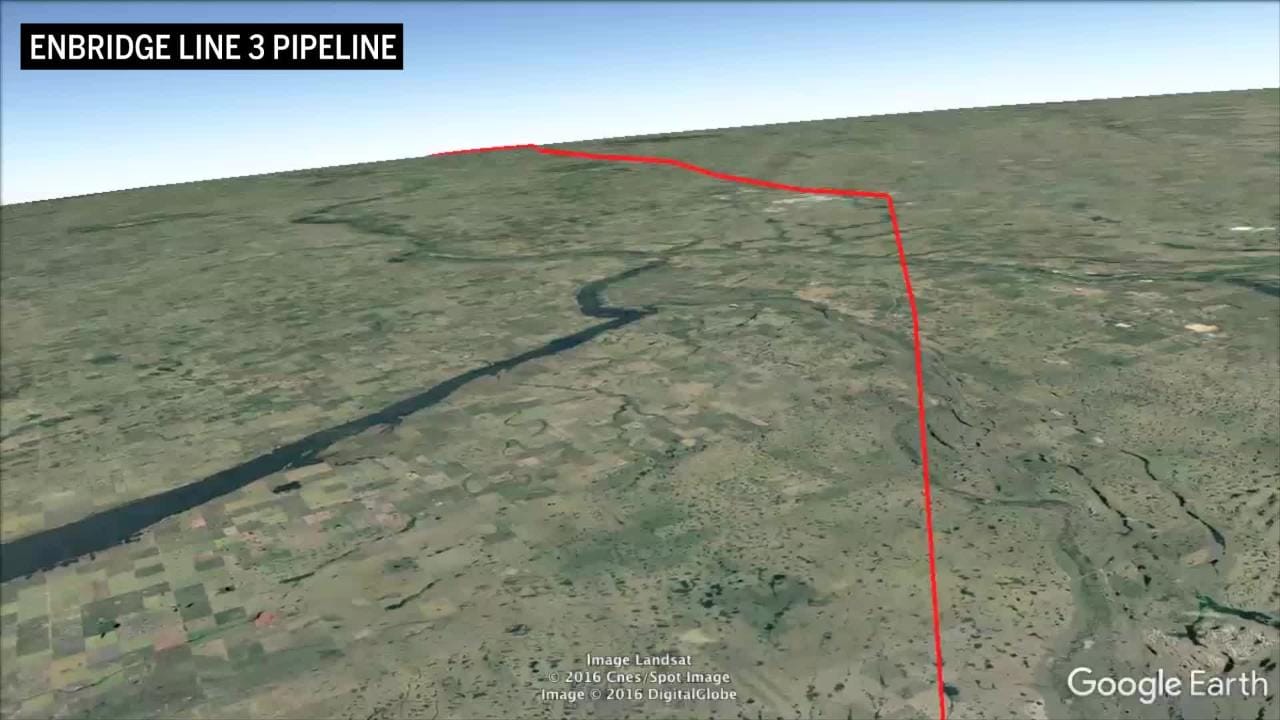
Fly the full length of the Line 3 pipeline route
We use Google Earth’s F-16 flight simulator to take you from one end of the Line 3 pipeline to the point where it reaches the U.S. border.
Related Posts
Economy
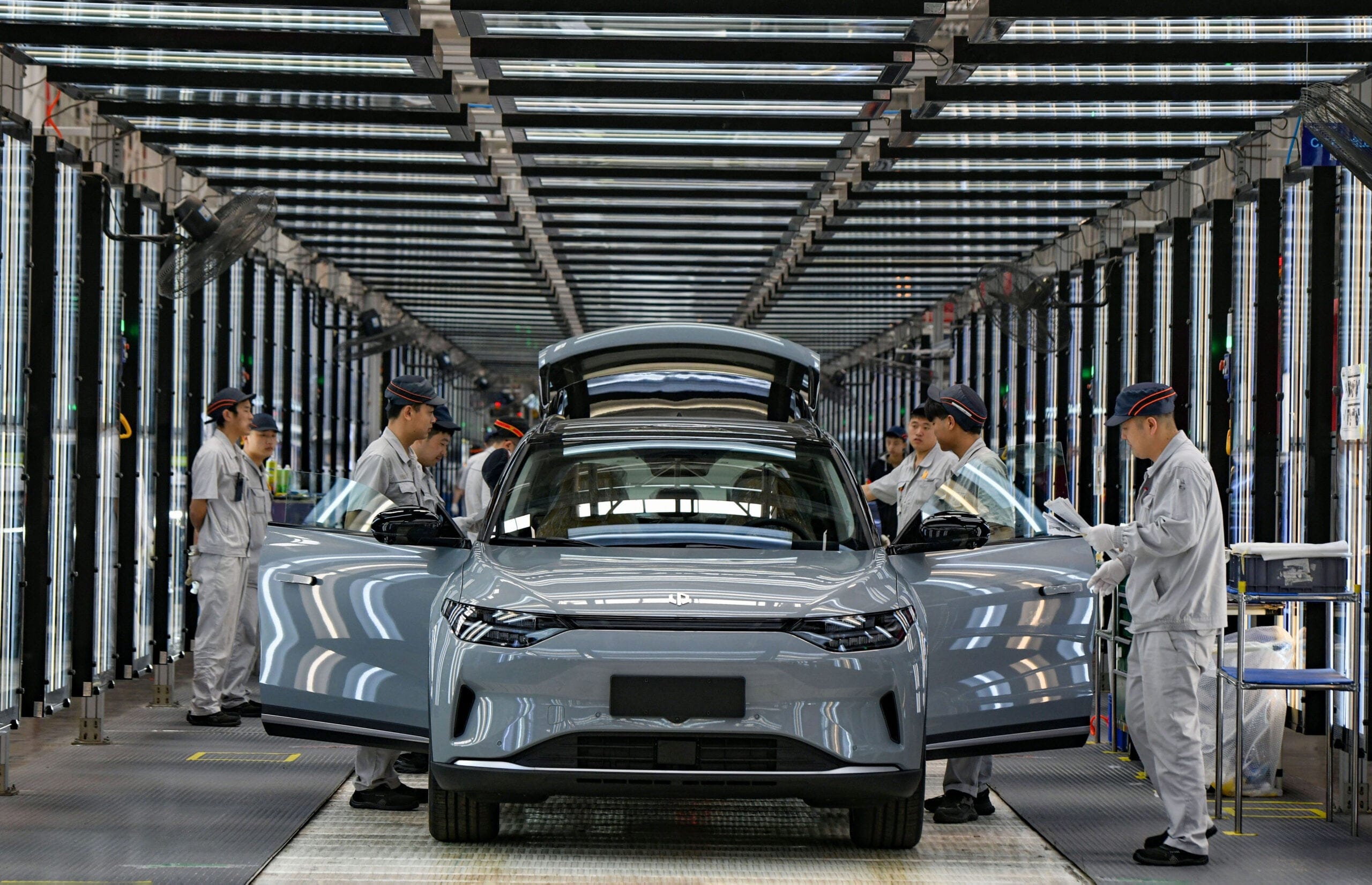
American Carmakers Are Leaving. Bring on the Chinese EVs.
Canada’s auto industry is atrophying. The new deal with China is the jolt it needs.

Economy
Canada is Funding its Own Economic Decline
Public investment in foreign companies makes more jobs. But it misses the real wealth.
Economy
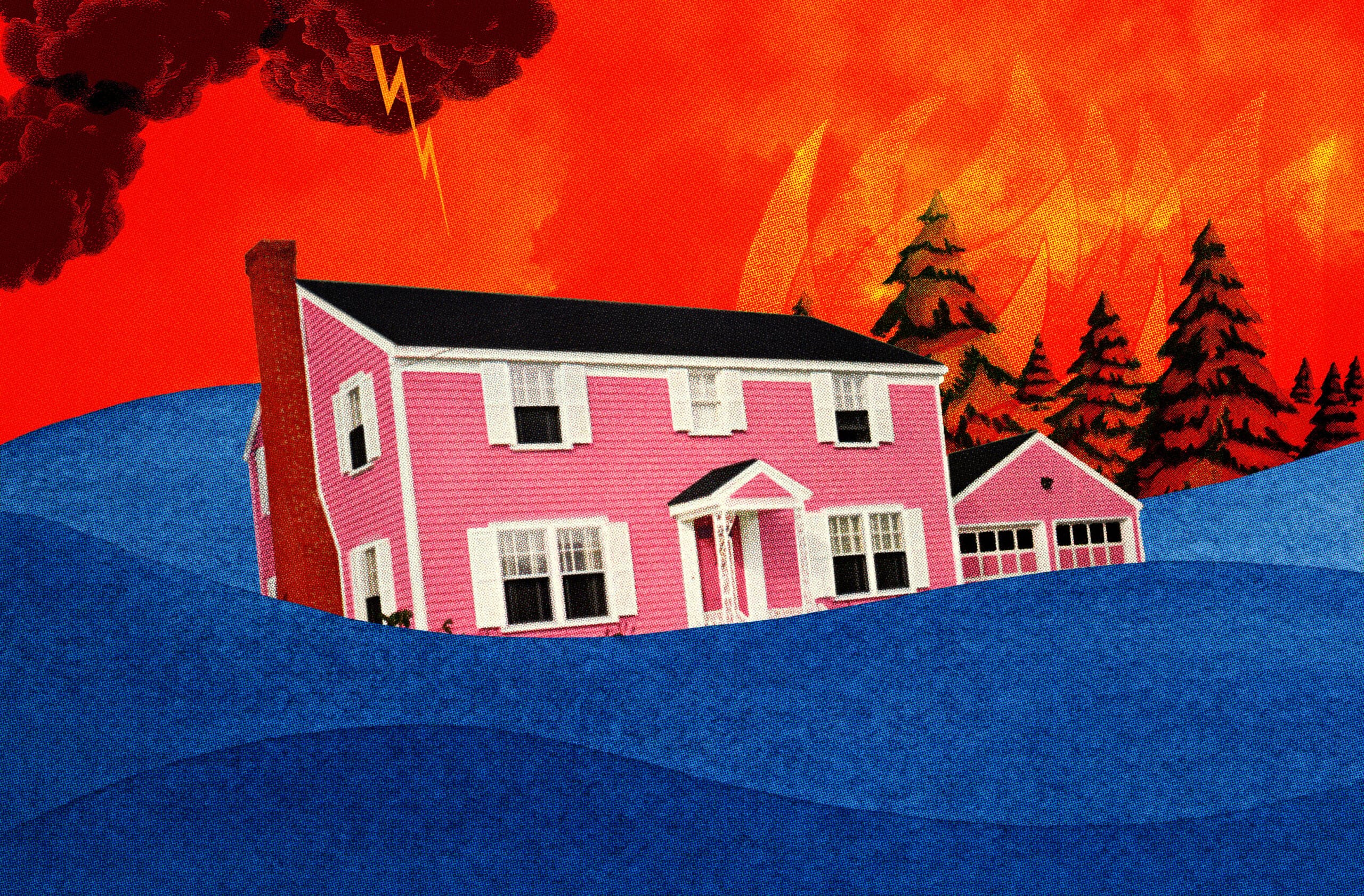
How Do We Keep Canada Insurable?
Climate change is making home insurance unsustainable. Investing in climate resilience could reverse the trend.
Economy
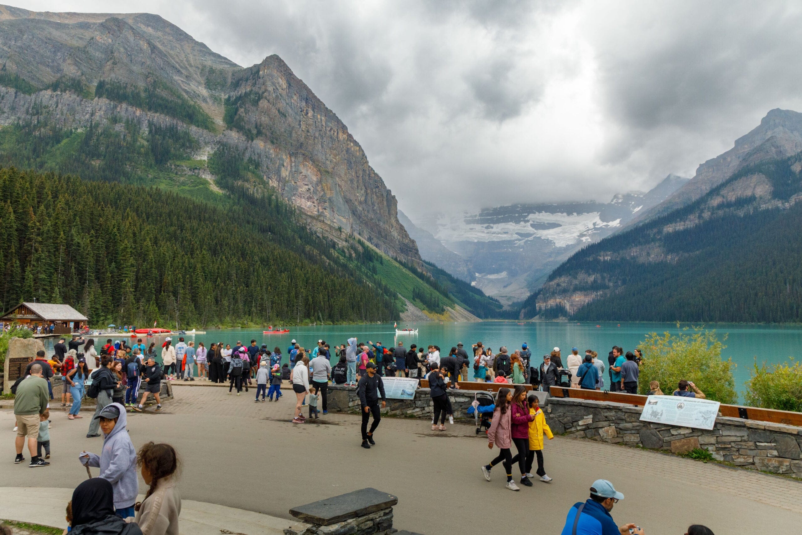
The Case for Tourist Taxes
Milan is hiking up its tourist levy in time for the Olympics. Bustling Canadian vacation towns should get in on the action too.
Get the Best of Maclean’s straight to your inbox.
Sign up for news, commentary and analysis. Join 60,000+ Canadian readers.