Let Communities Monitor Their Own Streets
In my neighbourhood in London, Ontario, residents spent years watching their intersection fail them. Most crossings along the street were four-way stops, except this one, where traffic on one road flowed straight through. Drivers assumed through-traffic would stop, and that assumption often had serious consequences. Near-misses and honking were routine. In 1998, a 12-year-old boy was struck by a car and nearly killed. In the years following, London police registered 18 more collisions at the same intersection, while residents counted hundreds of close calls. It was designed this way—configured to move vehicles through efficiently, with little consideration for the people who lived along it, walked it or sent their children across it.
When I moved into the area in 2019, my neighbours warned me about the intersection. They’d spent decades pushing the city of London to install an all-way stop. They wrote to city councillors and transportation staff. In 2022, they gathered more than 370 signatures in a petition. The city refused on the grounds that the intersection didn’t meet traffic-volume thresholds for a four-way stop. But the traffic data was based on a single manual count, conducted on a cold, rainy day, by a hired counter who took multiple breaks. It did not capture what every resident on the street already knew: this intersection was unsafe for everyone who used it.
I decided to collect the data myself. I found a small AI-assisted traffic sensor made by a Belgian company called Telraam. It was about the size of a deck of cards—mounted in a window, it would count pedestrians, cyclists and vehicles continuously, recording speeds and times. No breaks. No bad-weather excuses.
I purchased two sensors, installing one in my second-storey window and another in a neighbour’s window to measure the cross street. After a few weeks, they showed more than 3,000 vehicles, cyclists and pedestrians passing through the intersection every day—enough to meet the province’s volume thresholds for an all-way stop. I submitted the findings and, by December, city council voted to convert the intersection to a four-way stop. The signs went up in February. Residents had spent decades fighting for this. It took a $375 device to make the city see our streets.
Last year, Doug Ford eliminated Ontario’s automated speed camera program. Around 700 cameras were removed, including one on the street my daughter walks to school. Ford called them a “cash grab”—the same script used in 1995 to kill what was then called photo radar. What’s changed in the last 30 years is the evidence. A 2025 study of 2,000 speed cameras in New York City found collisions fell 30 per cent in the seven months after installation. A Toronto study tracked 50 cameras in 250 school-zone sites between 2020 and 2022 and found the proportion of vehicles speeding dropped by 45 per cent. If governments aren’t collecting that data, why can’t communities generate it themselves?
Related Posts

International Student Caps Are Decimating Canadian Colleges

How to Stop the Gen Z Slowdown
To answer that question, I founded CIVIC, which stands for Community-centred Infrastructure for Visible and Inclusive Cities. With support from the Old South Community Organization, the city of London and the University of Waterloo’s Global Futures Fund, my neighbours and I are deploying 15 additional sensors across the neighbourhood on streets where residents have been raising concerns for years. All the data is anonymized: no licence plates are stored, and no images leave the device.
The sensors are a fraction of the cost of conventional municipal traffic monitoring. But inexpensive is not free. If this evidence gathering depends on individual residents buying their own devices, or on researchers who happen to live on the street, it will concentrate in neighbourhoods that already have the resources to advocate for themselves. The communities that most need better data—the higher-traffic, lower-income neighbourhoods where residents lack the time or connections to run petition campaigns—will be left out.
That’s why cities need to be part of this. Municipalities have a responsibility to deploy these systems in neighbourhoods where concerns exist and resources don’t. Data should be visible to the people who generate it—not sold, not used against the neighbourhood and not locked behind freedom-of-information requests.
We’re also exploring noise sensors (motor vehicles are among the most disruptive sources of noise in residential neighbourhoods) and, eventually, air-quality monitoring. My long-term goal is to help cities and communities replicate this model across the country, with public dashboards where residents, city staff and policymakers can access local data about neighbourhood streets in real time.
Community data infrastructures are not a new idea. But the technology is now finally cheap enough, and private enough, to put in neighbourhood hands.Some people may hear this and think immediately of Google’s failed Sidewalk Labs proposal in Toronto, which raised fair questions about surveillance and data ownership. Those concerns are valid. The key difference here is not just technical—no private information is stored—but political. CIVIC is all about community. Residents decide where sensors are installed, how long they stay and what happens to the data. It’s generated by the neighbourhood, for the neighbourhood.
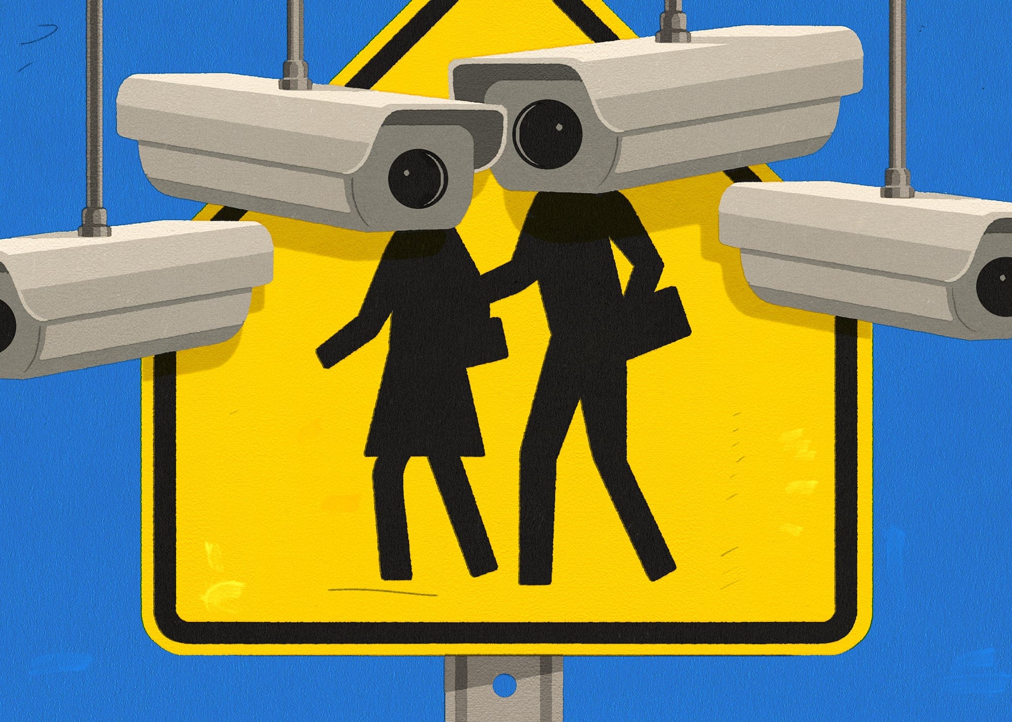
It’s also worth naming what already exists. Municipal traffic cameras monitor our streets so engineers can make data-informed decisions about our road networks. Doorbell cameras record who comes to our front doors and anyone who walks past them. Our images are then transferred out of the devices to commercial platforms that store our data, with little public accountability for how it is used. The question is not whether our neighbourhoods will be monitored. It’s who does the monitoring and for whom.
Replicating this model across the country will require two things from governments: funding to put sensors in the hands of communities that cannot afford them, and the political will to act on what those sensors find. Data alone is not enough. Knowing that drivers are speeding through a residential neighbourhood does not automatically make it safer. When governments refuse to act, residents absorb the cost. Parents reroute their children’s walk to school. Cyclists find another way. Neighbours learn which streets to avoid and pass that knowledge on, the way my neighbours warned me when I moved in. That is not adaptation. That is a community managing a problem that was designed in and could be designed out. Streets need to be reconfigured. They need to be narrowed, calmed and interrupted so that speed becomes physically difficult, not just discouraged. And we need policy tools to enforce what design cannot do alone.
Residents are not asking to run their cities. They are asking to be counted. They are asking for the evidence they generate to be taken seriously, for the streets their children walk to school to be treated as infrastructure worth protecting. Right now, too many governments are moving in the opposite direction—removing cameras, loosening standards, letting vehicles define what our neighbourhoods are for. Our communities deserve better than that.
Carrie L. Mitchell is a professor in the school of planning at the University of Waterloo.
What did you think of this story? Send a comment for publication to letters@macleans.ca, and supply your name and address. Comments should be fewer than 200 words, and may be edited for length and clarity.
Related Posts

Can Canada Survive Trump’s Attack on Science?

Canada Can Be a Refuge for America’s Grad Students

The Case for Lifelong Renting
Canada’s Aging Infrastructure Is a Ticking Time-Bomb
Get the Best of Maclean’s straight to your inbox.
Sign up for news, commentary and analysis. Join 60,000+ Canadian readers.