
B.C. Election 2017: How the electoral map changed
These comparisons show which electoral ridings changed hands in the 2017 provincial election, and where the boundaries shifted
Another election is in the books in British Columbia, with Liberal leader Christy Clark remaining premier, though for the first time since the 1950s the province elected a minority government.
British Columbia’s electoral boundaries changed since the last election in 2013, which makes direct comparisons difficult. But, here are two maps that show how the two elections compare, for B.C. as a whole and for the Lower Mainland:
British Columbia:
*The yellow riding in the 2013 map represents Delta South, which was won by an Independent candidate.
Vancouver:
MORE ABOUT B.C. ELECTION 2017:
- After the B.C. election here’s what Canadians are asking Google
- The B.C. election delivered Christy Clark a hollow victory
- The next few days in B.C. politics will be strange and fun
- John Horgan’s roller-coaster B.C. election night
- Liberals cling to minority government after B.C. election 2017
- B.C. Election 2017: Live Results Map
- In B.C. election 2017, the Green Party could be kingmakers
- Will money and arrogance cost Christy Clark the BC election?
Related Posts

Politics
My Adventures in Greenland
Trump wants us to believe it’s just an empty rock full of natural resources. But I know the real Greenland—and its people.
Politics
Alberta Treaty Law Could Decide the Arctic
Indigenous treaties in the Prairies are Canada’s greatest asset for sovereignty in the North

Politics
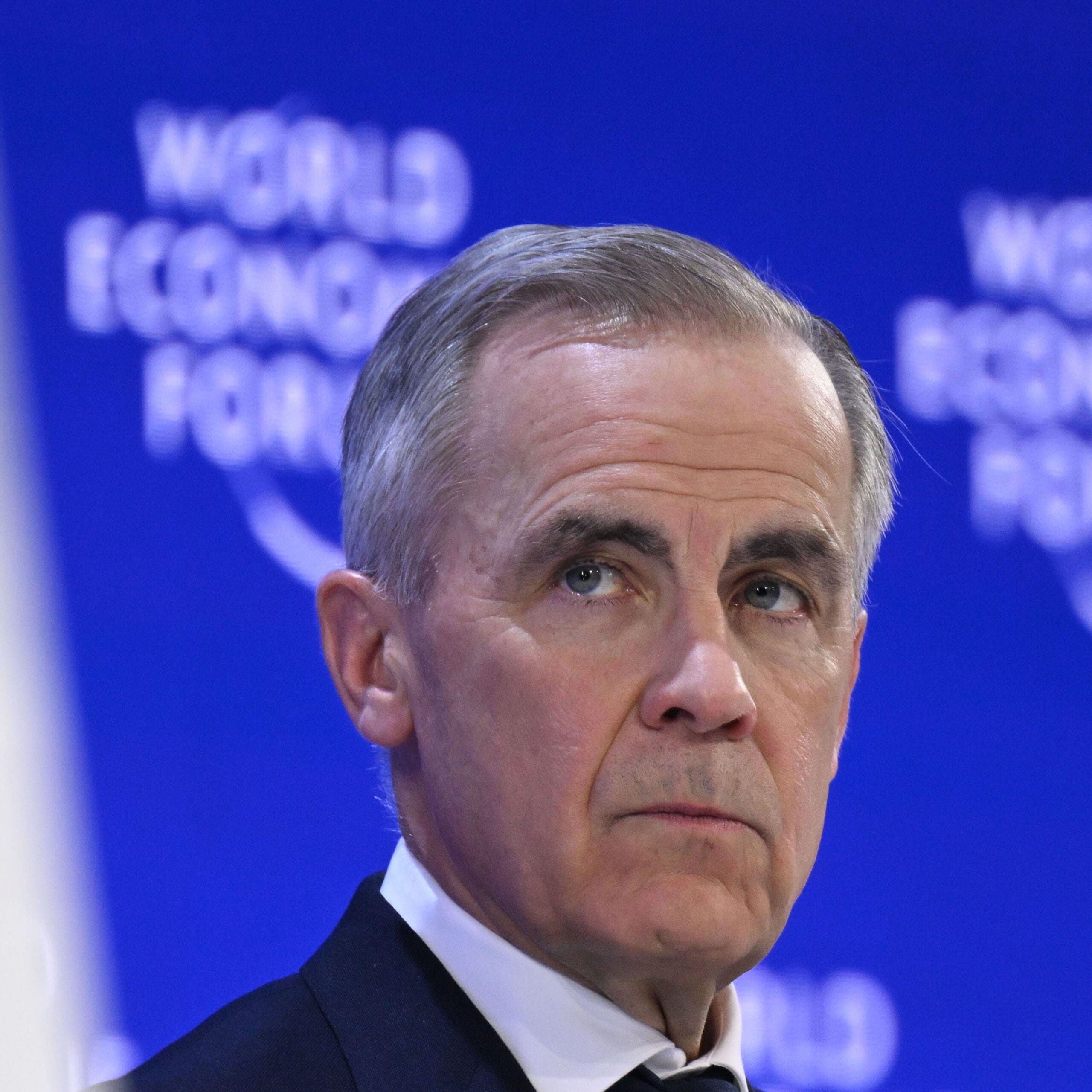
Carney’s Biggest National Project is Mythmaking
Northrop Frye identified Canada’s reflex to hunker down in times of trouble. In Davos, Carney tried to change the narrative.
Politics
Carney Is the Crisis Manager Canada Needs
The PM’s rousing Davos speech proves he can lead Canada—and maybe the world
Get the Best of Maclean’s straight to your inbox.
Sign up for news, commentary and analysis. Join 60,000+ Canadian readers.